How GPS Works on Rail Journeys: Satellites, Positioning and Practical Limits
How GPS Works on Rail Journeys: Satellites, Positioning and Practical Limits
GPS helps passengers, train operators and rail apps estimate where a train is during a journey. The system is part of a wider satellite positioning ecosystem: a receiver compares signals from satellites to calculate its position, speed and time. On an open stretch of railway, this can provide a useful live location. Inside tunnels, deep cuttings or dense urban areas, the picture becomes less reliable.
For rail travel, GPS is not simply a moving dot on a map. A train follows fixed tracks, crosses areas with uneven satellite visibility and may lose signal altogether underground. This article explains what satellite positioning can do on a train, why it sometimes appears wrong, and how rail systems combine GPS with track data, sensors and timetables.
Quick Summary
🛰️ GPS is a U.S.-owned satellite navigation system that provides positioning, navigation and timing services worldwide. A receiver on a train or phone calculates its location by measuring signals from several satellites.
🚆 Rail travel is a demanding environment because tunnels, stations, steep valleys and nearby buildings can block or reflect satellite signals. A location shown in an app may therefore lag behind the train or jump to a nearby road.
📍 The most dependable rail tracking combines satellite positioning with track-aware data, wheel sensors, signalling systems and timetable information. GPS is useful, but it is rarely the only source used for operational rail decisions.
How does GPS locate a train?
GPS locates a train by receiving time-stamped radio signals from satellites and calculating the distance to each satellite. With enough reliable signals, the receiver estimates a position on Earth, its altitude and the exact time offset of its internal clock. A train-mounted unit can then send that estimate to an onboard system or a railway control platform.
GPS, short for Global Positioning System, is a U.S.-owned satellite-based navigation service. The Federal Aviation Administration describes GPS as a space-based radio-navigation system, while GPS.gov explains that it delivers positioning, navigation and timing services for civilian users around the world. The GPS constellation is designed so that receivers can observe multiple satellites from most places on Earth; FAA material has reported 31 operational satellites orbiting at roughly 11,000 miles above the planet.
A GPS receiver does not ask a satellite where it is; it works out its own position from the timing information carried by satellite signals. This distinction matters on rail journeys because the receiver needs a clear enough view of the sky and enough clean signals to calculate a stable location.
From signal timing to a position
Each GPS satellite broadcasts a signal containing its identity, orbit information and a highly accurate timestamp. Since radio signals travel at the speed of light, the receiver can estimate how far the signal travelled by comparing the broadcast time with the arrival time. It repeats that calculation for several satellites.
- One satellite narrows the receiver to a large sphere of possible locations.
- Several satellites allow the receiver to find where those distance estimates intersect.
- A fourth satellite or more helps correct the receiver clock error and calculate a practical three-dimensional position.
This method is often called trilateration, although the receiver is solving a time-and-distance problem rather than measuring angles. The final location is an estimate, not a physical marker attached to the railway line. That is why the location can remain plausible while still being assigned to the wrong parallel track or nearby road.
Why is GPS useful during rail travel?
GPS can support live passenger information, train fleet monitoring, maintenance planning and operational analysis. Its main strength is that it provides an independent estimate of location and time without needing a continuous chain of trackside sensors. For passengers, it is most visible through map apps, journey planners and onboard location displays.

A passenger’s phone may use GPS alongside other location inputs, such as Wi-Fi networks, mobile networks and motion sensors. A rail operator may use a dedicated receiver connected to onboard equipment. These uses have different accuracy requirements: a passenger map can tolerate a small delay, whereas safety-critical railway functions require validated systems designed for the relevant network and rules.
| Rail use | How GPS helps | Main practical limit |
|---|---|---|
| Passenger map | Shows approximate progress and direction of travel | May freeze or drift in tunnels and dense urban areas |
| Fleet monitoring | Supports broad location tracking and journey analysis | Needs communications coverage to send live updates |
| Arrival estimates | Can improve predictions when combined with timetable and track data | Position alone does not explain dwell time, congestion or disruption |
| Maintenance records | Can associate observations with an approximate route location | Track-level precision may require additional reference systems |
GPS can show where a train probably is, but railway-grade location information depends on knowing which track the train occupies and how trustworthy the position estimate is.
For a broader explanation of the calculations behind geolocation, readers can discover here how timing, satellite signals and receiver processing work together. On a railway, that general principle is then adapted to a route that is narrow, fixed and sometimes hidden from the sky.
What practical limits affect satellite positioning on trains?
Satellite positioning works best when the receiver can see a wide area of sky and receive signals directly from several satellites. Rail routes frequently interrupt those conditions. A tunnel can block signals completely, while city streets, station canopies, cliffs and tall buildings can reduce the number of satellites available or distort the path a signal takes.
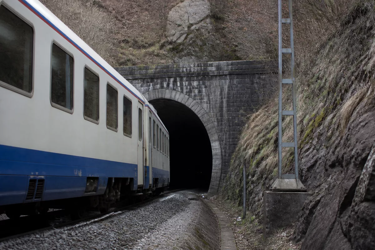
The most common passenger-facing problem is not that GPS disappears permanently, but that the last credible position remains on screen while the train continues moving. Depending on the app, the dot may pause at a tunnel entrance, move along an estimated route, or reappear with a sudden jump after the train exits.
Tunnels, covered stations and underground routes
GPS signals are weak by the time they reach Earth. Solid structures, soil and rock generally prevent a receiver from obtaining the direct satellite signals it needs. Long tunnels are therefore a clear blind spot, as are underground stations and many metro sections.
A train can continue to be tracked through these areas if the operator uses other systems. These may include wheel rotation measurements, track circuits, axle counters, balises, onboard inertial sensors or signalling data. Each system has its own operating purpose and technical constraints, so the precise combination varies by railway and country.
Reflections and parallel infrastructure
In dense areas, a satellite signal can bounce off buildings, station roofs or other structures before reaching the receiver. This is known as multipath interference. Because the reflected signal arrives later than the direct signal, the receiver may calculate an incorrect distance and place the train slightly away from its real position.
- Parallel tracks can be difficult to distinguish when their separation is small relative to the position error.
- Roads beside railway lines can attract a map marker if the app is designed primarily for road navigation.
- Long station canopies can reduce signal quality even when the train is not underground.
- Mountain valleys may limit the visible sky and reduce the number of usable satellites.
Signal interference and false signals
Two distinct risks are commonly discussed in satellite navigation: jamming and spoofing. Jamming interferes with reception by overpowering or blocking signals, while spoofing attempts to mislead a receiver with false signals. These are technical security issues, not routine explanations for every inaccurate passenger map.
Railway operators that use satellite positioning for operational purposes assess signal integrity, system design and fallback procedures rather than assuming a GPS reading is always correct. If a location estimate conflicts with track-based information, the safe response is to treat the discrepancy as a system issue to be investigated, not to rely on the satellite reading alone.
How do railway systems keep tracking trains when GPS fails?
Railways reduce dependence on any single location source by combining GPS with infrastructure and onboard measurements. This approach is especially important where a train enters a tunnel, passes beneath a station roof or travels through a narrow urban corridor. The objective is continuity: the system should retain a sensible estimate of movement even when satellite reception is unavailable.
One common approach is dead reckoning. The train starts with a known or trusted position, then estimates the distance travelled using wheel rotations, speed measurements and direction. An inertial measurement unit can also estimate changes in motion. Over time, however, small errors accumulate, so the system needs periodic reference points to correct its estimate.
- Establish a position: use satellite reception, trackside equipment or a known station location.
- Track movement: measure speed, wheel turns or motion while the train continues along the route.
- Match to the railway: compare the estimate with the known track geometry and permitted route.
- Correct the estimate: update it when a reliable reference point or clean satellite signal becomes available.
Track matching is what turns a general geographic position into a useful rail position. A mapping system can compare a train’s estimated path with the railway network and reject locations that would place it on an implausible road, field or parallel line. This improves passenger displays, but it should not be confused with a guarantee of exact track occupancy.
On a railway, the important question is often not “Where is the dot?” but “Which verified section of track is occupied, and how certain is the system?”
GPS, GNSS and train location: what is the difference?
GPS is one satellite navigation system. GNSS, or Global Navigation Satellite System, is the wider term for satellite-based positioning systems, including GPS and other constellations. A modern receiver may use signals from more than one constellation when available, which can increase the number of satellites in view and improve resilience in difficult environments.
Using GNSS does not eliminate the physical limits of rail travel. A tunnel still blocks satellite signals, and reflected signals can still affect accuracy. It can, however, give a receiver more opportunities to obtain a reliable position on open routes, near station approaches or in areas where part of the sky is obstructed.
| Term | Meaning | What it means for rail travel |
|---|---|---|
| GPS | The U.S. Global Positioning System | One important source of satellite positioning signals |
| GNSS | An umbrella term for multiple satellite navigation constellations | May provide more usable signals when the sky view is partly blocked |
| Track matching | Aligning an estimated position with known railway geometry | Helps make a general location more relevant to a rail route |
| Dead reckoning | Estimating movement from a previously known position | Helps bridge temporary GPS outages, especially in tunnels |
What should passengers expect from GPS on a train?
For most journeys, GPS is best treated as a helpful indication of progress rather than an authoritative operational source. It can show that the train is approaching a city, confirm which side of the route you are travelling on, or help you prepare for a stop. It may also give an app enough information to estimate arrival times, particularly on open routes.

Do not assume that a stationary map marker means the train has stopped, especially in a tunnel or covered station. Check the onboard display, operator announcements and the official journey information service when available. Those sources may reflect timetable updates, platform changes or disruption information that a phone’s satellite position cannot provide.
A simple passenger checklist
- Use the map dot as an approximate travel aid, not as proof of an exact location.
- Expect weaker GPS reception in tunnels, underground stations and dense city centres.
- Allow for a short delay between the train’s real movement and an app update.
- Use official rail alerts for connection decisions, platform changes and disruption notices.
- Download route maps in advance if mobile coverage may be limited during the journey.
If a connection is tight, rely on official service information rather than a GPS-based arrival estimate alone. Satellite positioning is valuable context, but it does not know whether a train is waiting for a signal, changing platforms or being held for traffic management.
Sources useful for checking GPS information
The most reliable technical information about GPS comes from public authorities responsible for satellite navigation and aviation navigation services. GPS.gov provides an overview of the U.S. system, its public services and official terminology. The Federal Aviation Administration also publishes material explaining the role of GPS within satellite navigation and aviation infrastructure.
For a specific rail service, use the operator’s official passenger information channels and published conditions. These sources are better suited to checking live disruption, station changes and service status than a general-purpose mapping application.
Frequently Asked Questions About GPS on Rail Journeys
Does GPS work inside a train?
Yes, GPS can work inside a train when the receiver can obtain sufficient satellite signals. Reception may be better near a window than in the middle of a metal-bodied carriage, but the outcome also depends on the route, the device and obstructions outside.
Why does my GPS location stop moving in a tunnel?
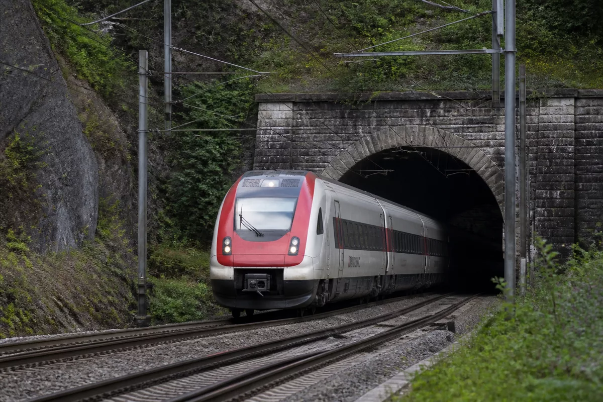
Tunnels block the direct satellite signals required for a normal GPS calculation. Your device may retain the last known location, estimate movement briefly using internal sensors, or wait until the train returns to an area with a clearer view of the sky.
Can GPS identify the exact railway track?
Not reliably in every situation. Nearby tracks can be closer together than the uncertainty of a consumer GPS position, so specialist railway systems often combine satellite data with track geometry, signalling and other sensors.
Is GPS the same as GNSS?
GPS is one satellite navigation system operated by the United States. GNSS is the broader term covering GPS and other satellite constellations, which compatible receivers may use together for improved satellite availability.
Can a GPS app tell me whether my train will be late?
A GPS app can show approximate progress, but it cannot independently confirm the operational reason for a delay or a revised platform. For decisions about connections or disruptions, official rail information remains the more appropriate source.